


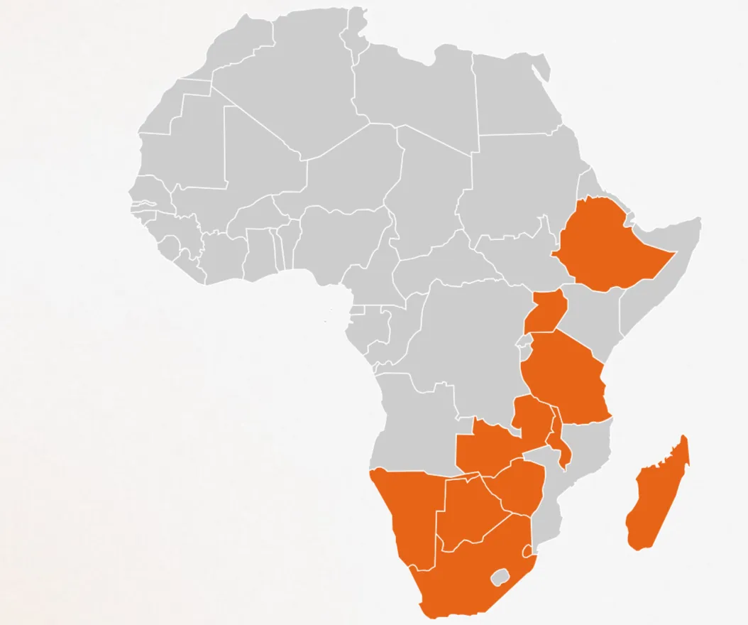
An interactive Africa map is a great way to present regional data, offices, or coverage areas on your website. This guide shows how to embed one in Elementor using clean HTML, so visitors see the continent clearly and you keep full control over styling. Paste the code into an HTML widget and customize the colors to fit your design.
How it works
The map is built from markup where each country or region is its own shape. Because each shape is a separate element, you can target it with CSS to set fill colors, hover states, and borders. Elementor simply renders the markup inside an HTML widget, so no extra plugin or map service is required.
Tips and customization
- Change the fill color to match your brand palette.
- Add a hover color so regions highlight on mouse over.
- Wrap regions in links to make them clickable.
FAQ
Do I need a mapping plugin?
No. The map is plain markup rendered in an HTML widget, with no dependency on external map services.
Is it responsive?
Yes. Using a scalable SVG lets the map resize cleanly on phones and tablets.